Getting something more-or-less right may be acceptable to for some. But for much of the work we do at AssetSphere – such as where farmers and landowners need accurate maps for grant applications or landowners need to precisely plot locations of underground utilities – we prefer to be right on-the-mark, not just somewhere near it.
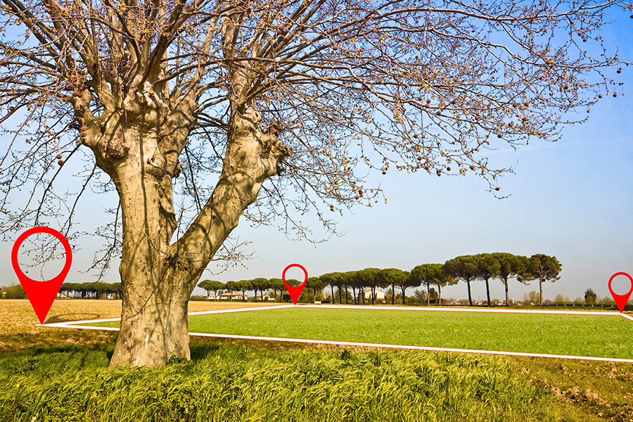
Take the Basic Payment Scheme as an example. Accurate mapping of the boundaries of the land you wish to claim for is essential for two reasons.
- If the area you claim for is less than the true figure, you could be missing out on payments.
- If the area you claim for is more than the true figure, this will eventually be picked up by the Rural Payments Agency when their own mapping systems verify the boundaries and area measurements you have calculated. You would then be asked to repay any overpayment, or receive reduced payments in the future to compensate.
Both scenarios are unwelcome to say the very least and could cause you significant financial headaches.
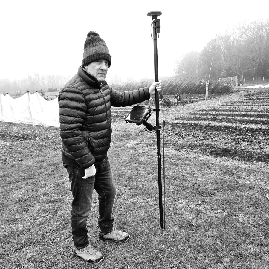 Which is why we have invested in the Trimble Catalyst and K-Mobile mapping system from the surveying equipment and mapping-technology experts, Korec.
With accuracy levels to within a few centimetres, the system enables us to give BPS applicants boundary maps and area measurements that can be relied upon completely.
No more money slipping through the net due to area calculations coming up short – and no more fear of the RPA challenging your claim or asking for repayments.
We also employ the Trimble Catalyst and K-Mobile system to map boundaries for woodland schemes and land sales, and to plot water pipes, drainage systems and underground utility cables.
In addition to offering a level of accuracy that was previously difficult if not impossible to achieve, the system enables us to carry out the work in much less time than was possible in the past.
Of course, any tool or technology is only as good as the person using it. And while we have created countless maps and plotted a plethora of pipelines, we’re grateful to Korec’s Rob Partridge and Nadia Oliveira whose support has added another level to our own expertise.
Pardon the pun, but for our work – and to deliver the best outcomes for our clients – it pays to be precise, and other systems just don’t measure up.